
| Home
|
Maps and Views (3) See Also:
Sites:
» National Geographic - MapMachine: Uruguay
Satellite, topographic, physical, street, earthquake, population and aerial maps and images. http://plasma.nationalgeographic.com/mapmachine/profiles/uy.html » US NASA - Visible Earth: Uruguay
Collection of NASA satellite and sensor images and animations. http://visibleearth.nasa.gov/view_set.php?categoryID=2260  » University of Texas Libraries - Map of Uruguay
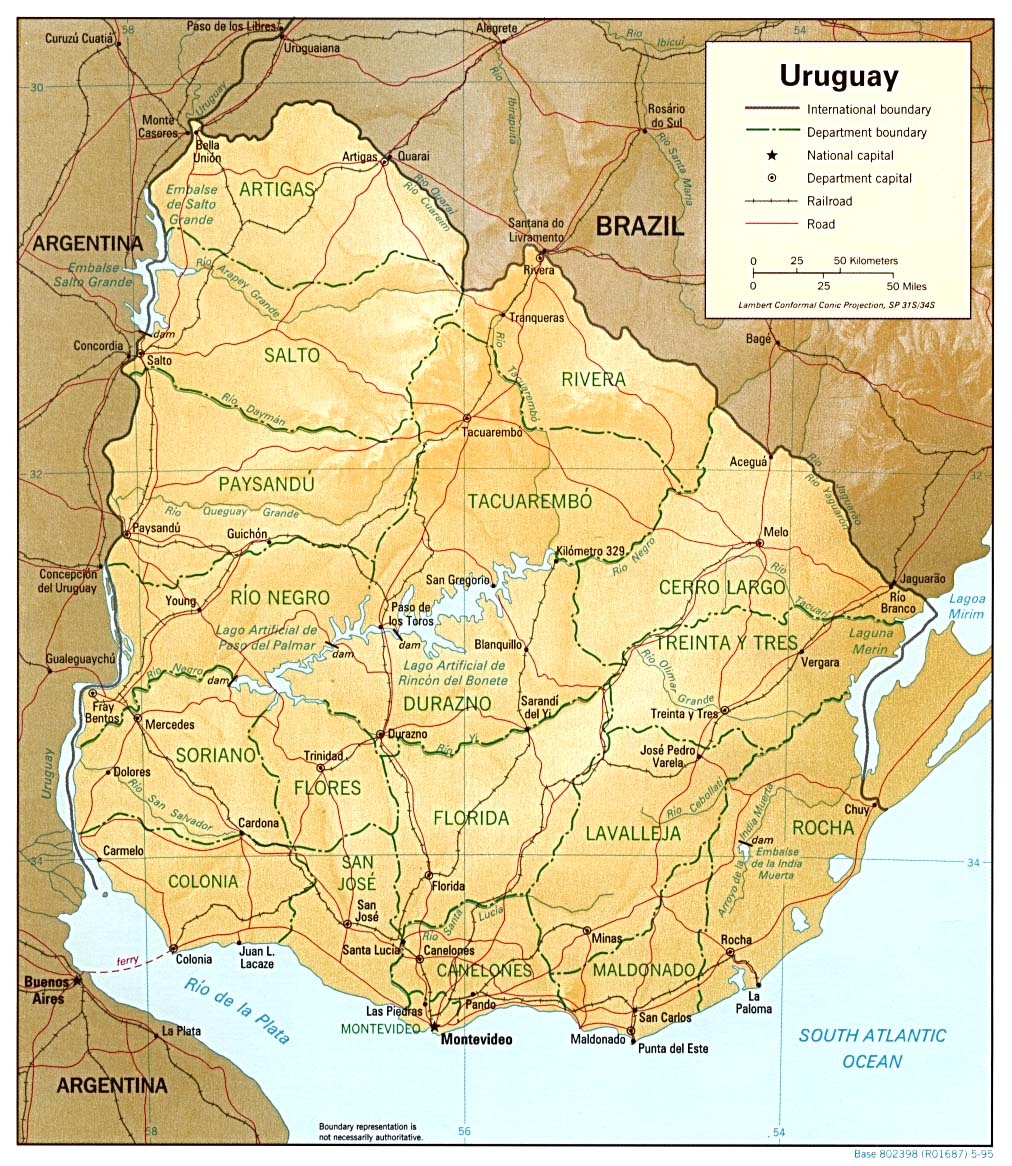
Shaded Relief, 1995, from the Perry-Castañeda Library Map Collection at the University of Texas. (295K) http://www.lib.utexas.edu/maps/americas/uruguay_rel_95.jpg This category needs an editor
Last Updated: 2007-01-02 22:03:57
The content of this directory is based on the Open Directory and has been modified by GoSearchFor.com
|
