
| Home
|
Maps and Views (1) Categories:
See Also:
Sites:
 » Netherlands Antilles and Aruba
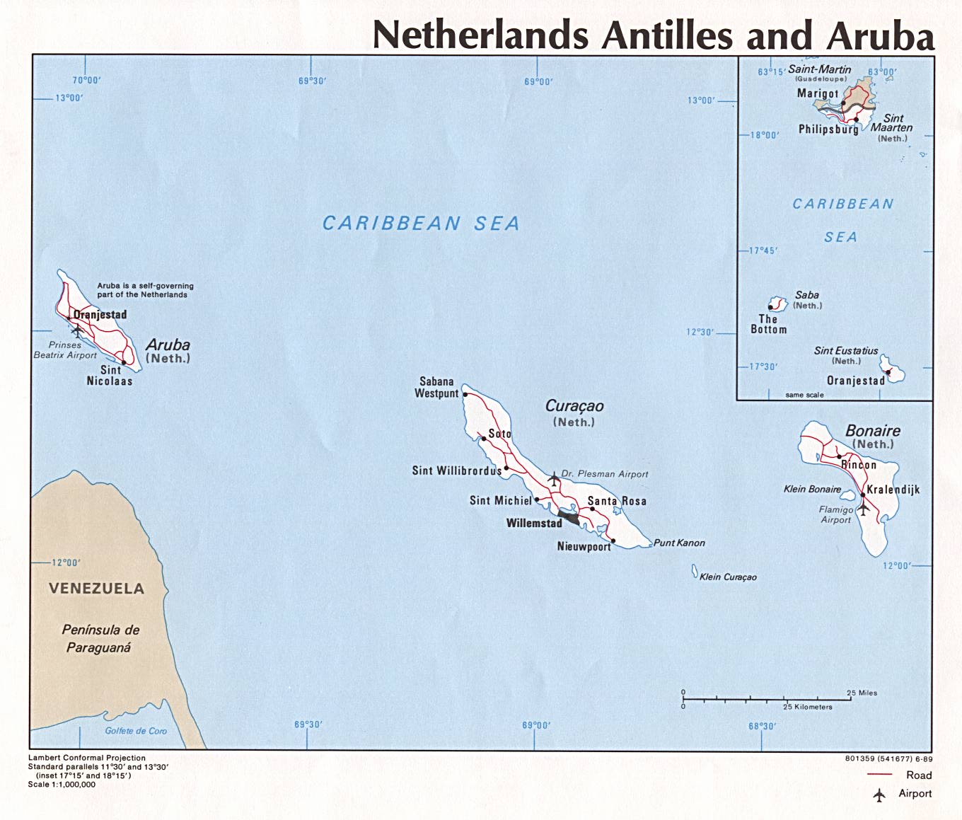
Conformal projection and political map featuring Aruba, Bonaire and Curaçao (ABC) islands with inset map of Saba, St. Eustatius, St. Martin/St. Maarten islands. depicting roads, airports, and major cities. Scale 1:1,000,000. 1989. (172K) http://www.lib.utexas.edu/maps/americas/nethantillesaruba.jpg This category needs an editor
Last Updated: 2007-01-02 23:43:49
The content of this directory is based on the Open Directory and has been modified by GoSearchFor.com
|
